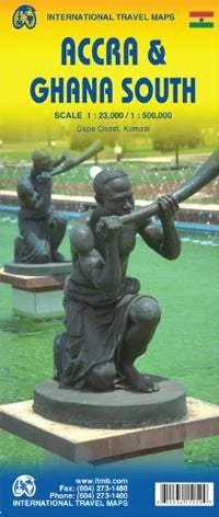
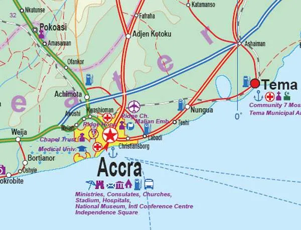
Street plan of Accra on a double-sided map from ITMB which also offers on the reverse a road map of southern Ghana and small street plans of Kumasi and Cape Coast.
On one side is street plan showing Accra at 1:23,000 with coverage extending east to the Mallam district, north to the West Legon Botanical Gardens and the University of Ghana, and west beyond the international airport to the Light Industry Area.
The city centre is also shown in greater detail on an enlargement at 1:15,000. Both plans indicate locations of governmental offices and other important buildings, embassies, hotels and restaurants, banks, etc. The main plan and the enlargement have separate indexes.On the reverse is an indexed road map of Southern Ghana at 1:500,000, extending north to the upper part of Lake Volta, the Digya National Park and the Boabeng Fiema Monkey Sanctuary. Topography is shown by altitude colouring with elevation in feet. National parks and other protected areas are highlighted.
Small panels provide street plans of central Kumasi and Cape Coast, naming main streets and indicating various important buildings and facilities, as on the plan of Accra. Both the street plan of the capital and the road map of Southern Ghana are annotated with notes on history, places of interest, etc.


